Surveying and Geographic Information


The scope of surveying and mapping business usually includes the following aspects:
1. Land surveying and mapping: surveying, mapping, mapping, and related land survey work on land, including the survey, measurement, and installation of land boundary markers, as well as land ownership surveys.
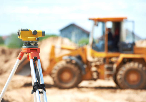
2. Construction engineering surveying: surveying, mapping, mapping, and related engineering surveying work for various types of construction projects, including land consolidation surveying, building completion surveying, and engineering deformation surveying.
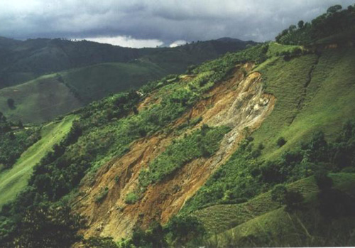
3. Environmental protection surveying and mapping: Conduct investigations, measurements, and mapping of environmental resources, including measuring and monitoring environmental elements such as water resources, forest resources, wetlands, etc.
4. Geographic Information System (GIS): Collecting, organizing, analyzing, and managing geospatial data, as well as developing and maintaining geographic information databases and application systems.
Surveying and mapping instruments
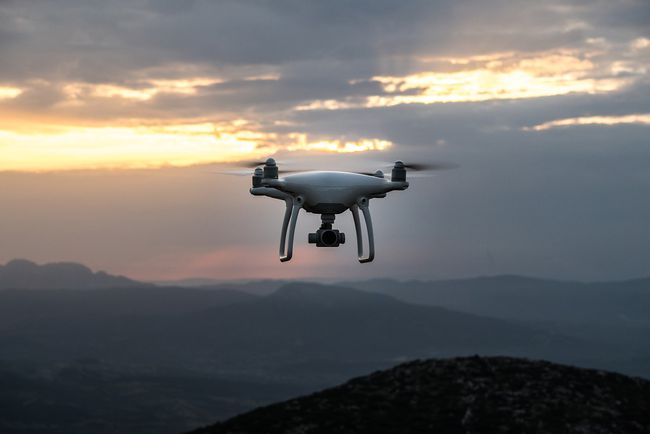
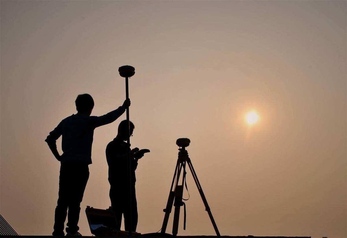
There are mainly 3D laser scanners, drones, leveling instruments, theodolites, total stations, GPS receivers, GPS handheld devices, super stations, gyroscopes, planimeters, steel rulers, stopwatches, etc.


